Sanborn Maps
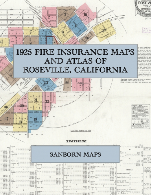
Facsimile of the 1925 Sanborn fire-insurance atlas of Roseville, California, reproduced in full color from the Library of Congress copy. It covers the whole Placer County railroad town of 6,300 people, from the old business blocks of Lincoln and Church Streets and the new stores, hotels and theatre of Vernon and Atlantic Streets out along the Southern Pacific freight yards to the Pacific Fruit Express Company’s ice plants and car repair shops, and the schools, churches and residential streets on both sides of the railroad out to the city limits.The twenty-nine numbered sheets that follow work block by block from the stores, banks and offices along Vernon Street, Atlantic Street, Lincoln Street, Church Street, Main Street and Pacific Street - the City Hall and jail, the fire station, the Post Office, the Public Library, the Masonic Temple and Theatre, the moving-picture house, the I. O. O. F. Hall, the telephone office, the Placer County Exhibit, the Vernon, Barker and Rex hotels, The West House and the Hotels Dubarry and Russ, the R. R. Employees Club House and the garages and auto sales rooms - through the Southern Pacific freight and passenger depots, railroad yards and shops (the round houses and repair shops left blank, the surveyor having been refused admittance), the Pacific Fruit Express Company’s three ice plants with their freezing tanks, ice-storage rooms, icing platforms, car repair yard, planing mill and rebuild shed, the Diamond Match Company, the Sterling and Matheny Bros. lumber yards, the Roseville Planing Mill and the O. M. McAlpin mill work, the Pacific Gas and Electric Company, the Union Ice Company and the Roseville Ice and Soda Company, the Roseville Bottling Works, the Riolo Bros. grape packing house, the W. F. Fiddyment and W. S. Perry warehouses and the Ed. Garbilino fruit warehouse, the Roseville Steam Laundry and Lilly White Laundry, the C. L. Wilson nursery and the water company’s pumps and reservoir, to the Southern Pacific Company’s hospital, the Roseville Union High School, the Atlantic Street, Vernon Street, Vernon Primary and Roseville Heights public schools, St. Rose’s Catholic Church, the First Baptist, First Methodist Episcopal and First Presbyterian churches, the Church of God and the White Missionary Baptist Church, the City Park, and the residential streets out along Circuit Drive, Riverside Avenue and Folsom Road to the city limits.In September 1925 the Sanborn Map Company of New York surveyed Roseville for the fire-insurance trade, drawing the town at fifty feet to the inch. Every building is shown to scale and color-coded for construction (yellow for frame, pink for brick, blue for stone), with heights, uses, windows, party walls, hydrants, water mains and fire stations all marked. The index lists every street and every named business, church, school, hotel, mill and works with the sheet it appears on, and the key map places the colored sheet grid over the whole city.This Exile Books edition is an unabridged facsimile republication of the atlas: all thirty numbered map sheets, 1 to 30, sheet 1 being the combined title, key map and index sheet with its report on the water facilities and fire department, the others covering the town from the old business blocks of Lincoln and Church Streets and the new ones of Vernon and Atlantic Streets to the Southern Pacific yards, the Pacific Fruit Express Company’s ice plants and the residential streets on both sides of the railroad, printed at 8.5 x 11 inches on premium color paper. Ideal for local historians, genealogists, architects, preservationists and anyone tracing a Roseville address back to 1925.