Sanborn Maps
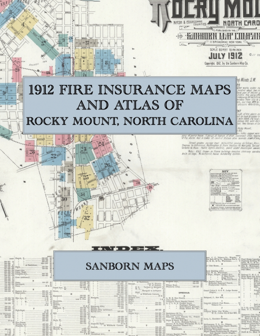
Facsimile of the 1912 Sanborn fire-insurance atlas of Rocky Mount, North Carolina, reproduced in full color from the Library of Congress copy. It covers the whole Nash and Edgecombe County railroad town of 14,000 people, from the stores, banks and hotels of Main Street and Five Points and the tobacco warehouses and prizeries, through the Atlantic Coast Line shops and roundhouse and the Rocky Mount Mills on the Tar River, to the residential streets of North and South Rocky Mount, Red Row and Williford’s Corners, and the oil mill and saw mill at Battleboro.The thirty-four numbered sheets that follow work block by block from the stores, banks and hotels along Main Street, Washington Street, Tarboro Street, Thomas Street and Church Street to Five Points - the Municipal Offices, the Jail, the Post Office and the Federal Building site, the Masonic Opera House, the Elks’ Club House, the Imperial Athletic and Sagamore club houses, the Boy Scouts Armory, the Railroad Y. M. C. A., the Ricks Hotel and Annex, the Cambridge and Alton hotels, the Carolina House and the Commercial House - through the Atlantic Coast Line passenger station, freight depot, shops, roundhouse and Relief Department Hospital, the Rocky Mount Mills and mill school on the Tar River, the Imperial Tobacco Company and British American Tobacco Company prizeries and warehouses, the Braswell, Levy, Gravely, McDearman, Thorpe and Ricks and Petty prizeries, the Cooper, Crew, Fenner, Pitt and Rose tobacco warehouses and the Tobacco Planters’ Warehouse, the Southern Cotton Oil and Planters Cotton Seed Oil mills, the Rocky Mount Brick, Hosiery, Ice and Fuel, Machine Works, Sash and Door and Storage Warehouse companies, the Breen and Shore felt mill, the Cotton Belt mattress factory, the Pintsch gas works, the Coca-Cola and Pepsicola bottling works, the Swift meat depot, the Standard Oil Company, the Tar River Lumber Company, the municipal water works and electric light plant and the pumping station on the Tar River, to the Rocky Mount High School and public schools, the Church of Our Lady of Perpetual Help, the Good Shepherd Episcopal, First Baptist, First Methodist Episcopal, First Presbyterian, Christian, Marvin Methodist, Methodist Protestant, Arlington Street Baptist, Calvary Baptist and Clark Street Methodist churches, the A. M. E. Zion, St. Mark’s A. M. E., St. James Baptist, Mount Pisgah Presbyterian and Zion Baptist churches, Oakland Park, Pineview Cemetery, and the residential streets of North and South Rocky Mount, Red Row and Williford’s Corners, with the Jeffreys and Ricks clay works and, at Battleboro, the Battleboro Oil Company and the Habgood saw mill.In 1912 the Sanborn Map Company of New York surveyed Rocky Mount for the fire-insurance trade, drawing the city at fifty feet to the inch. Every building is shown to scale and color-coded for construction (yellow for frame, pink for brick, blue for stone), with heights, uses, windows, party walls, hydrants, water mains and fire stations all marked. The index lists every street and every named business, church, school, hotel, mill and works with the sheet it appears on, and the key map places the colored sheet grid over the whole city.This Exile Books edition is an unabridged facsimile republication of the atlas: all thirty-five numbered map sheets, 1 to 35, sheet 1 being the combined title, key map and index sheet with its report on the water facilities and fire department, the last sheet carrying the outlying works and the village of Battleboro, printed at 8.5 x 11 inches on premium color paper. Ideal for local historians, genealogists, architects, preservationists and anyone tracing a Rocky Mount address back to 1912.