Sanborn Maps
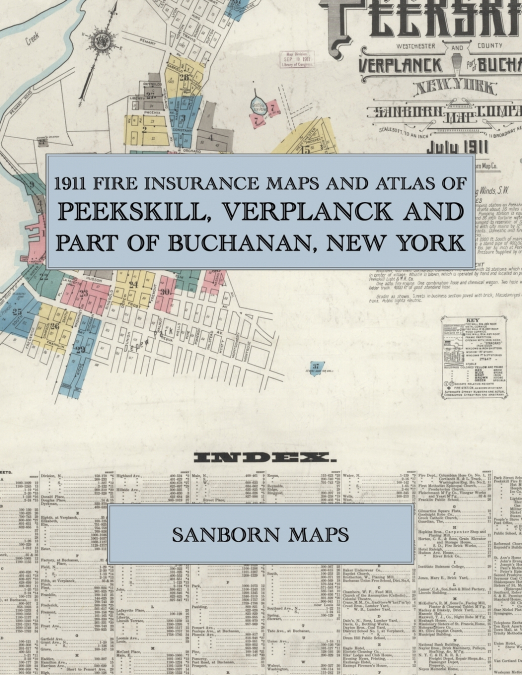
Facsimile of the 1911 Sanborn fire-insurance atlas of Peekskill, Verplanck and part of Buchanan, New York, reproduced in full color from the Library of Congress copy. It covers the Westchester County village of 15,000 people on the Hudson River at the mouth of Peekskill Creek, from the stores, banks, hotels and theatre of Main, Division and South Streets out to the New York Central depot, the stove works, brick yards and waterfront, the Peekskill Military Academy, the schools, churches and residential streets around Depew Park and Drum Hill, and the outlying settlements of Buchanan and Verplanck.The thirty-six numbered sheets that follow work block by block from the stores, banks and offices along Main Street, Division Street, South Street, Park Street, Brown Street and Central Avenue - the Municipal Building, the Post Office, the Field Library, the National Bank, Lincoln and Reynold’s buildings, the Telephone Exchange, the Colonial Theatre, Masonic Hall, the Elks’ Lodge and Club House, the Evening News printing office, the Exempt Firemen’s House and the hose and engine houses, the Eagle, Exchange, Owl, Raleigh, Union and Shakespeare hotels, the Standard House and Meahagh House - through the New York Central and Hudson River freight and passenger depots and repair shops, the American Express office, the Peekskill Lighting and Railway Company’s car barns and gas and electric plant, the Union, Southard Robertson, People’s and Mohegan stove works, the Crane gas stove works, the Peekskill Hat and Goodnight Robe factories, the Baker underwear and Maxwell night robe factories, the Star and Peekskill nickel plating works, the Naylor Brothers brick machinery works, the Anderson electrical and machine works, the Fleischmann vinegar and yeast works, the Standard Oil Cloth Company’s Montrose plant, the Peekskill and Horton fire brick works, the Hudson River Brick Company and the Jones, O’Brien and Mackey and Blakely brick yards, the McKellar facing mill, the Horton grain elevator, the coal and lumber yards and the Van Cortland Dairy, to the Peekskill Hospital, the Peekskill Military Academy, the Drum Hill, Franklin and Park Street schools, the Institute Business College, the Sisters of St. Mary convent and school, St. Joseph’s Home, St. Ann’s Home for Girls, the Missionary Sisters of St. Francis home and the Noyes Memorial Home, the Church of the Assumption, St. Peter’s Episcopal, St. Paul’s Methodist and the Presbyterian, Reformed, Baptist, Methodist and Wesleyan churches, the Synagogue, and the residential streets out to the Buchanan Union Free School and the Town Hall, post office and school of Verplanck.In July 1911 the Sanborn Map Company of New York surveyed Peekskill, Verplanck and part of Buchanan for the fire-insurance trade, drawing them at fifty feet to the inch. Every building is shown to scale and color-coded for construction (yellow for frame, pink for brick, blue for stone), with heights, uses, windows, party walls, hydrants, water mains and fire stations all marked. The index lists every street and every named business, church, school, hotel, mill and works with the sheet it appears on, and the key map places the colored sheet grid over the whole city.This Exile Books edition is an unabridged facsimile republication of the atlas: all thirty-seven numbered map sheets, 1 to 37, sheet 1 being the combined title, key map and index sheet with its report on the water works and fire department, the others covering the village of Peekskill from the business district on Main Street to the Hudson River waterfront, the stove works and brick yards, Verplanck and part of Buchanan, printed at 8.5 x 11 inches on premium color paper. Ideal for local historians, genealogists, architects, preservationists and anyone tracing a Peekskill address back to 1911.